 Search


- Kanerjing, Great Wall of China and Beijing-Hangzhou Grand Canal are collectively known as the three major projects in ancient China
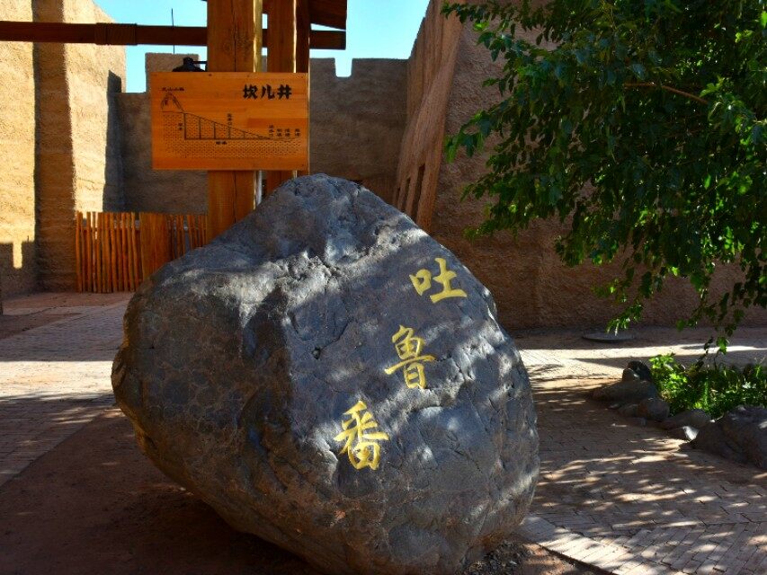
Kanerjing, as early as recorded in "Records of the History", was called Jingqu. Xinjiang Uyghur is called Kanerzi.
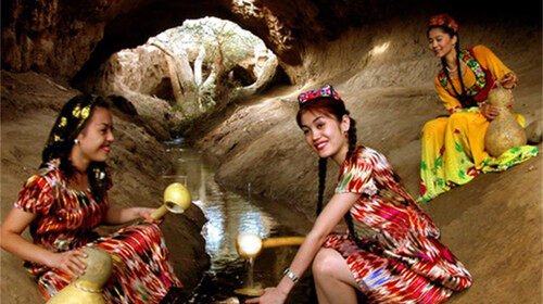
Kanerjing is a special irrigation system in desert areas, commonly found in Turpan, Xinjiang, China. Kanerjing, Great Wall of China and Beijing-Hangzhou Grand Canal are collectively known as the three major projects in ancient China. There are more than 1,100 karez wells in Turpan with a total length of about 5,000 kilometers.
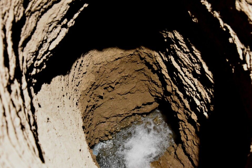
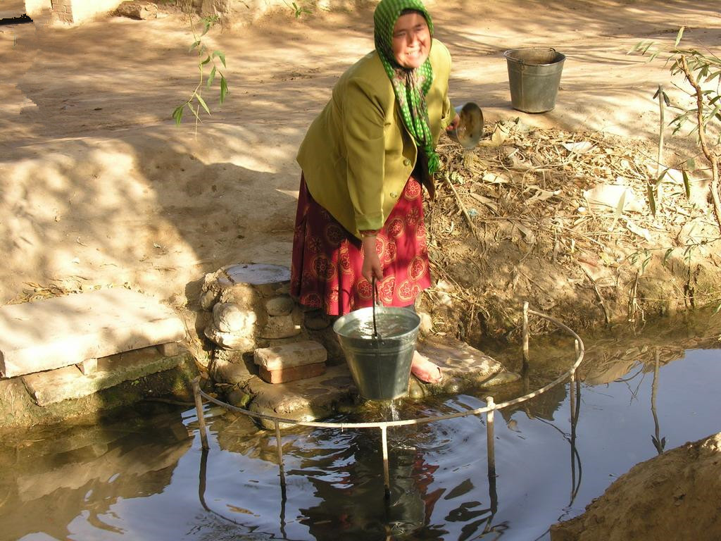
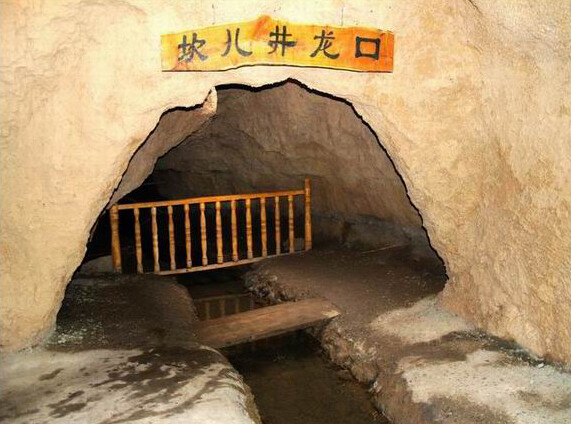
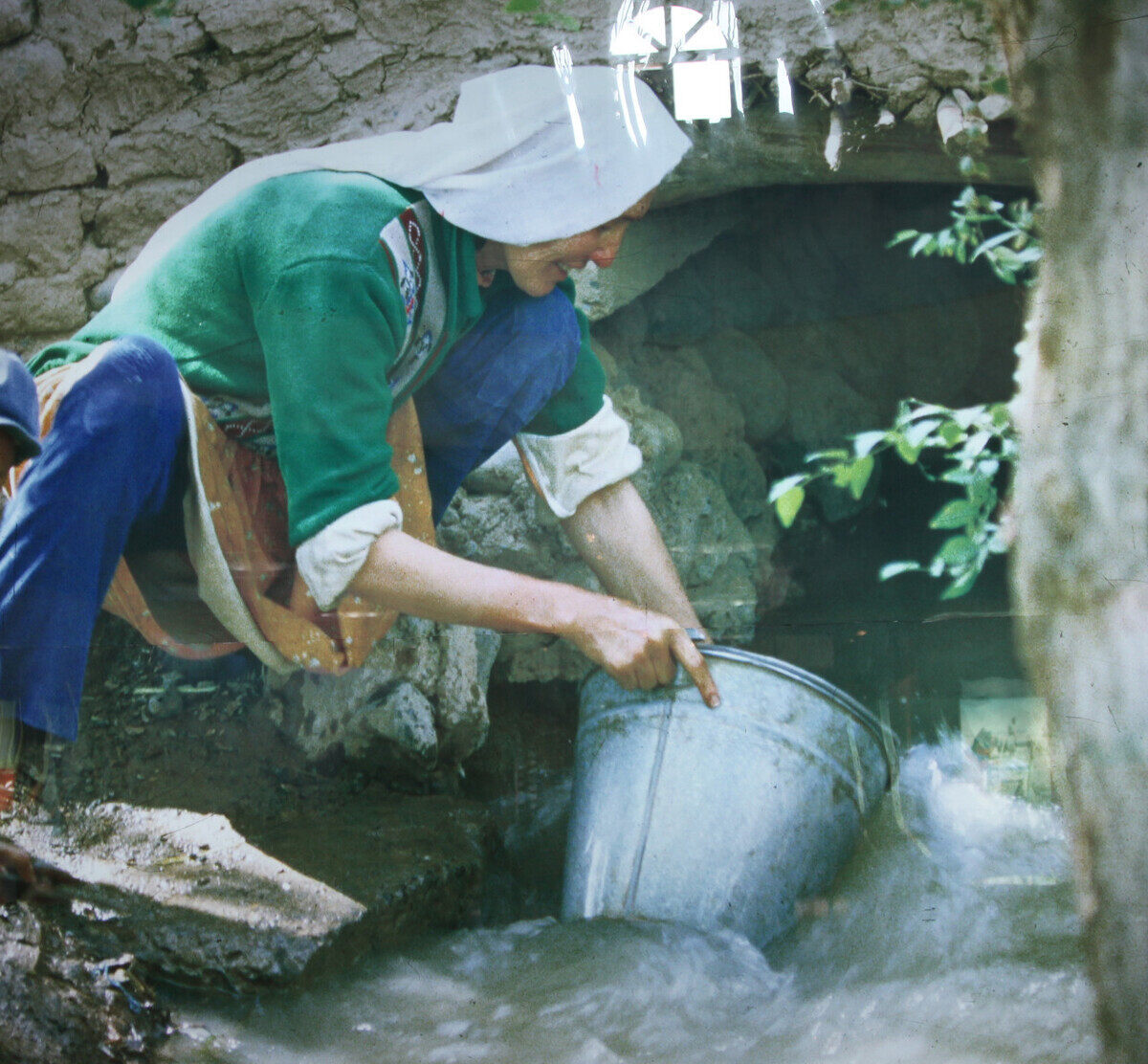
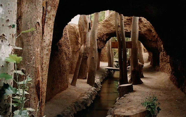
Kanerjing is a very old type of horizontal water collection structure for the development and utilization of groundwater. It is suitable for mountain foothills and alluvial fan margins. It is mainly used to intercept underground diving for farmland irrigation and residential water use. Kanez
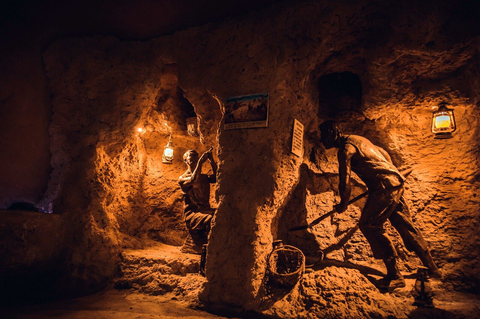
The structure is composed of four parts: shaft, culvert, open channel, and "waterlogging dam" (jishuitan). At the undercurrent of the high mountain snow water, seek the water source, drill a vertical well of varying depths at certain intervals, and then repair the culvert at the bottom of the well according to the topography to communicate the wells and divert the water. The outlet of the underground channel is connected with the surface channel to lead the groundwater to the surface to irrigate the mulberry field. The Kanerjing does not evaporate a lot of water due to the heat and strong wind, so the flow rate is stable and the artesian irrigation is guaranteed.
The reason for the massive construction in the Turpan Basin is inseparable from the local natural and geographical conditions. Turpan is one of the extremely arid regions in China. The annual precipitation is only 16 mm, and the evaporation can reach 3000 mm, which can be called the "dry pole" of China.
However, Kanerjing is used to transport water in underground culverts, which is not affected by seasons, wind and sand, has small evaporation and stable flow, and can be irrigated by gravity all year round. Although Turpan is hot and less rainy, the basin has Bogda Mountain in the north and Karawucheng Mountain in the west. Whenever a large amount of snow melt and rain flow into the basin in summer, it penetrates into the Gobi and merges into an undercurrent, providing a rich source of underground water for Karez. The Bogda Peak in the northern part of the basin is 5445 meters high, while the Aiding Lake in the center of the basin is 154 meters below sea level. From the foot of the Tianshan Mountains to the shore of the Aiding Lake, the horizontal distance is only 60 kilometers, the height difference is more than 1,400 meters, and the ground slope is average. About one-fortieth, the groundwater slope is not much different from the ground slope, which provides favorable topographical conditions for the excavation of Karez.
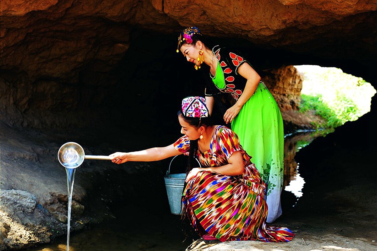
Turpan's soil is cemented by gravel and clay, and the texture is solid. The shaft walls and culverts are not easy to collapse, which in turn provides good geological conditions for the excavation of a large number of karez. It is precisely because of this unique underground water conservancy project that the groundwater is directed to the ground and hundreds of thousands of mu of fertile land in the basin have been irrigated, which gave birth to the people of all ethnic groups in Turpan and turned the desert into an oasis. Editor/He Yuting
Comment


 Praise
 Collect
 Comment

 Share
Share


Write something~